
EQUINOX GIS
Visualize your electric network over an interactive map
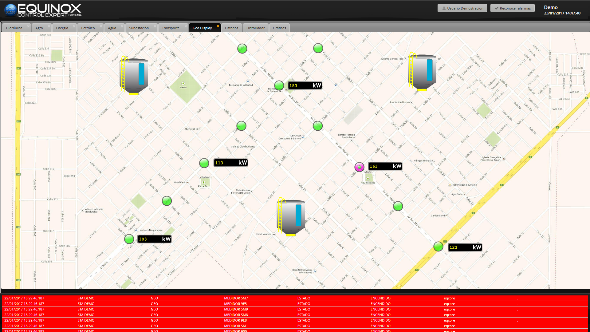
EQUINOX GIS lets you represent the electric network over interactive maps, importing lines, substations and other network elements in KML, KMZ or GeoJSON format.
The system’s measurement and control points are placed directly on the map, making it easy to identify the physical location of every network element at a glance.
EQUINOX’s topology engine determines in real time which sections of the network are energized, propagating the electrical state from active sources through switches and breakers, and reflecting the result with colors directly on the map.
Contact us for further information
-
 More information
EQUINOX Core
Our multiple feature SCADA solution
-
More information
EQUINOX Configurator
The easiest to use and most intuitive development tool
-
More information
EQUINOX Web
A 100% web application for system operators
-
 More information
Alarms and events
Real time alarms and events reports
-
 More information
Historian
Continuous status and measurement recording
-
 More information
Charts and trends
Watch your business's fundamental variables evolution
-
 More information
EQUINOX GIS
Visualize your electric network over an interactive map
-
 More information
EQUINOX Telegram
Receive system alerts directly through Telegram